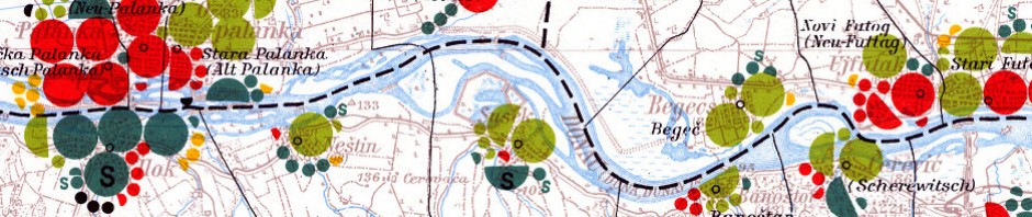
The Volkstumskarte von Rumänien (Ethnicity Map of Romania), was published in 1941 in Vienna, and edited by Wilfried Krallert. This series of maps consists of 44 maps at the scale of 1:200,000. The ethnicity data symbolized on these maps is based on official census data from the 1930 census of Romania. The national and administrative boundaries on display on the maps correspond to the 1930 census.
Viewing the Maps
To access the digital version of these maps, please use the Map Index below, zoom into your area of interest (blue box), and click on the Map Sheet that corresponds with your area of interest. Please note that these maps are in KMZ format and should be viewed in Google Earth.
To download a copy of Google Earth, visit this website.
The original description of the maps, in German, can be found on Blatt 1 (first sheet) of the map series. The original description has been translated into English, courtesy of the Corvin Society.
Ethnic/Language Symbology and Administrative Boundaries Legends
To help you understand the content on the maps, three legends have been translated into English.
- Legend of ethnic/language groups symbols representing total population
- Detailed explanation of the legend of national and administrative boundaries
Romania Map Index
If you want to obtain digital versions of georeferenced maps in GeoTIFF format or a digital version of map index of Romania in Google Earth (.KMZ) format or Shapefile (.SHP) format, please contact Rosa Orlandini (project researcher), rorlan at yorku.ca.
Last edited by Rosa Orlandini on July 23, 2013